 |
Wagner HS, Clark AB, and the Philippines |
 |
|
|
Wagner HS, Clark AB, and the Philippines |
|
Wagner
HS -
Clark AB - Off
Base Housing Areas - Philippines
 |
Wagner High School, 1973. General layout in black and white. |
 |
Clark Field Army Air Base, July 1947. A general layout map of the base in black and white. |
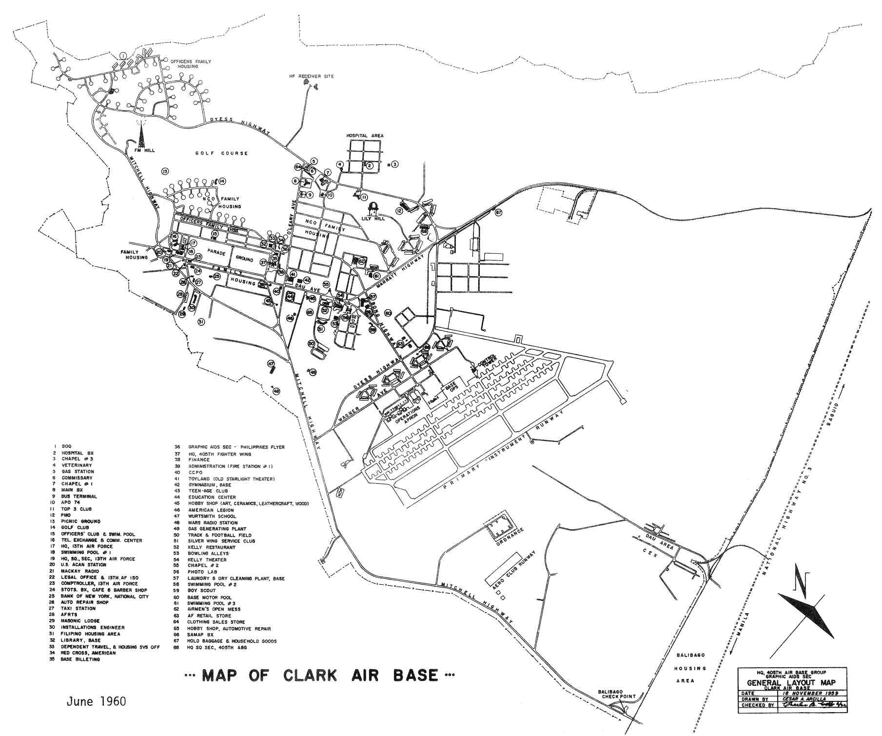 |
Clark Air Base, June 1960. A general layout map of the base in black and white. |
 |
Clark Air Base, June 1961. A general layout map of the base in black and white. |
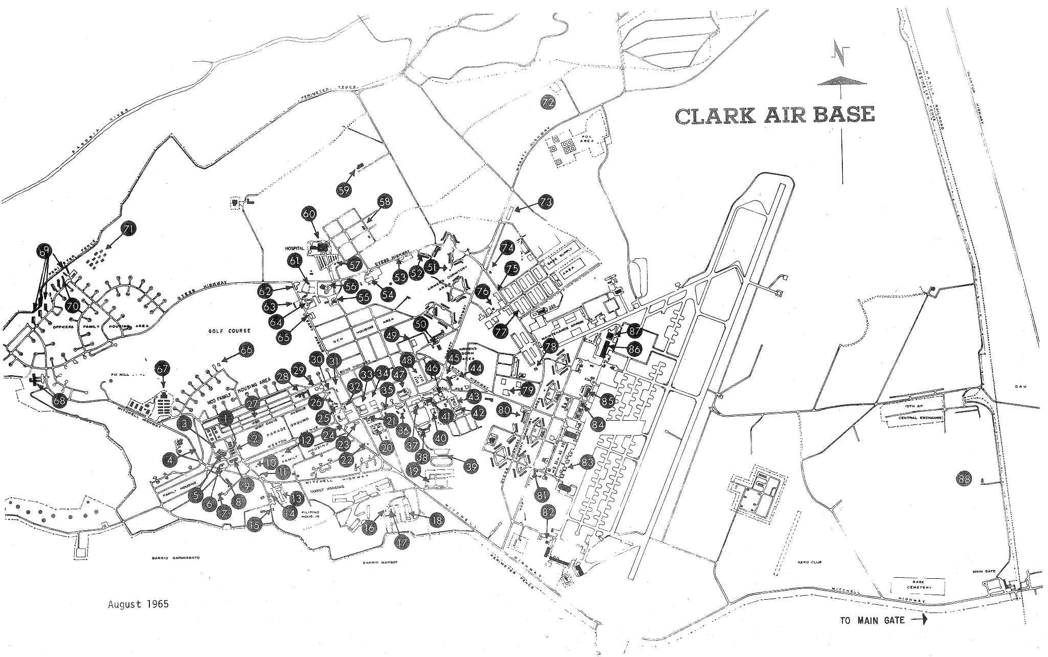 |
Clark Air Base, August 1965. A general layout map of the base in black and white. |
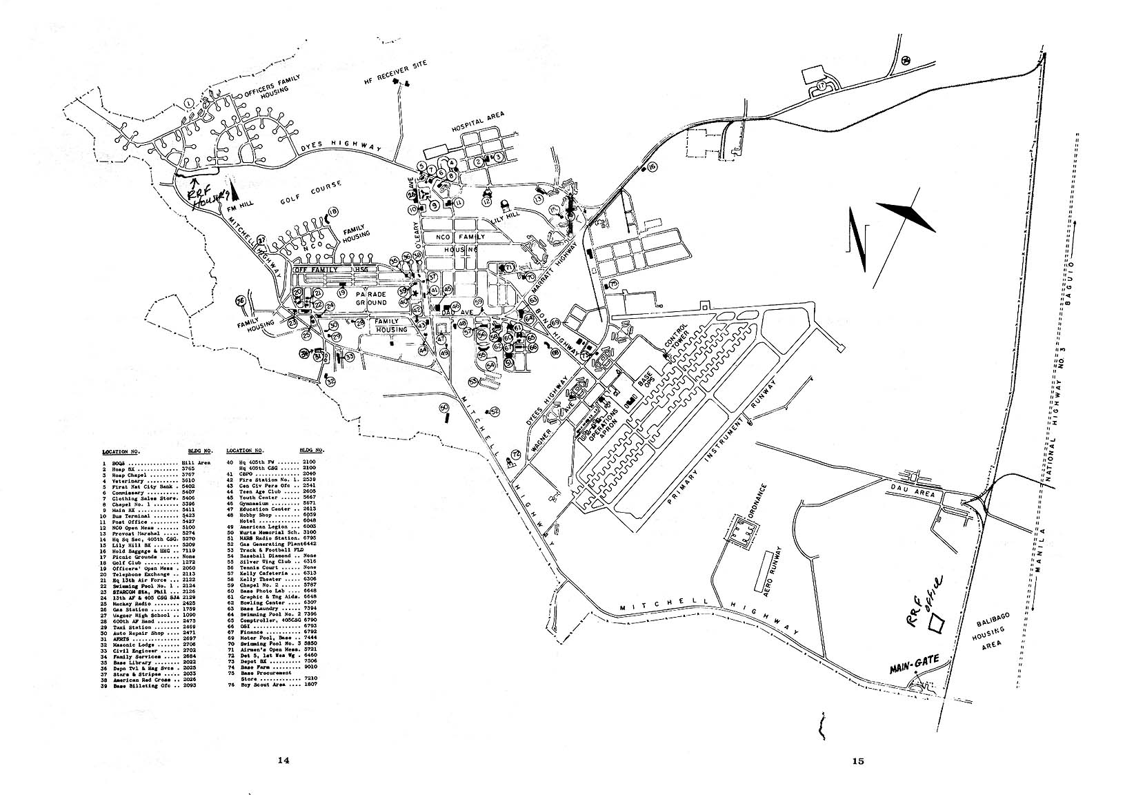 |
Clark Air Base, 1968. A general layout map of the base in black and white with legend. |
 |
Clark Air Base, October 1971. A general layout map of the base in black and white. |
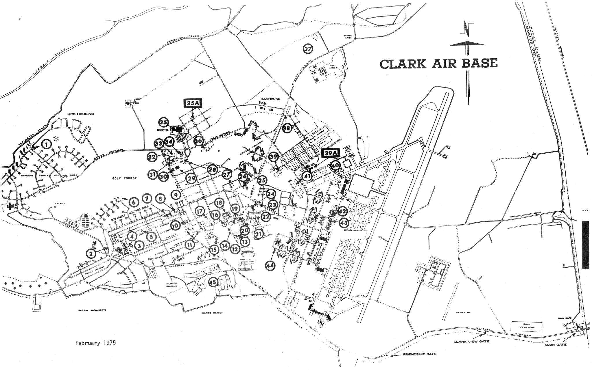 |
Clark Air Base, February 1975. A general layout map of the base in black and white. |
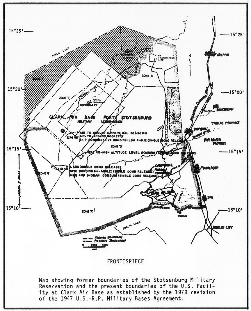 |
Clark Air Base - Ft. Stotsenberg 1979. A boundary map of Ft Stotsenberg in black and white. |
 |
Clark Air Base, September 1986. A general layout map of the base in black and white. |
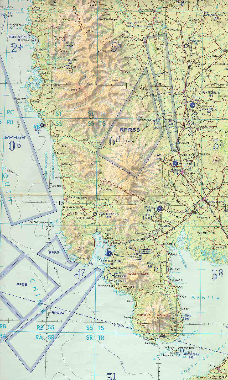 |
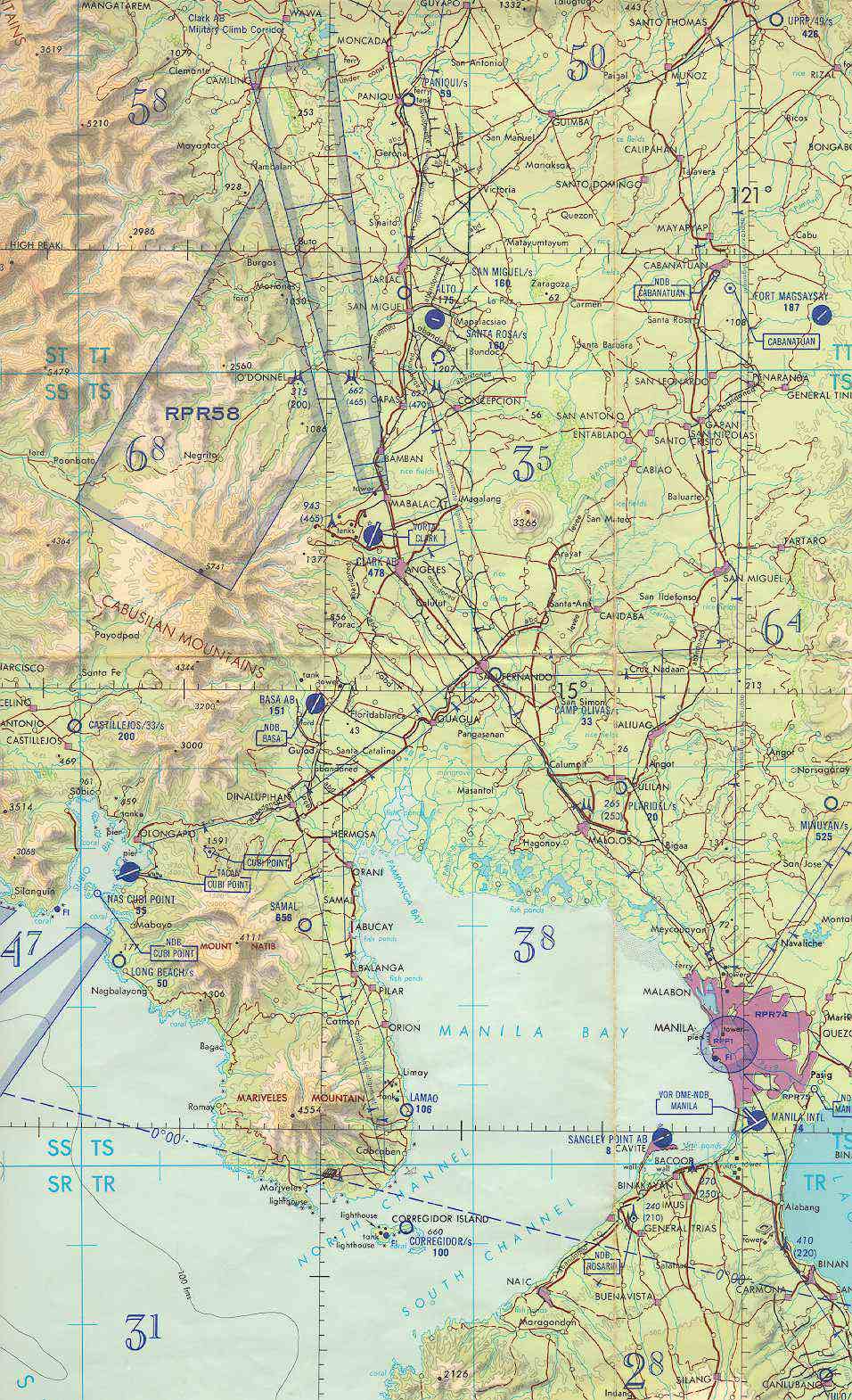
Clark Air Base aerial map. A general air chart and relief map showing the base, Central Luzon, and visible landmarks. |
 |
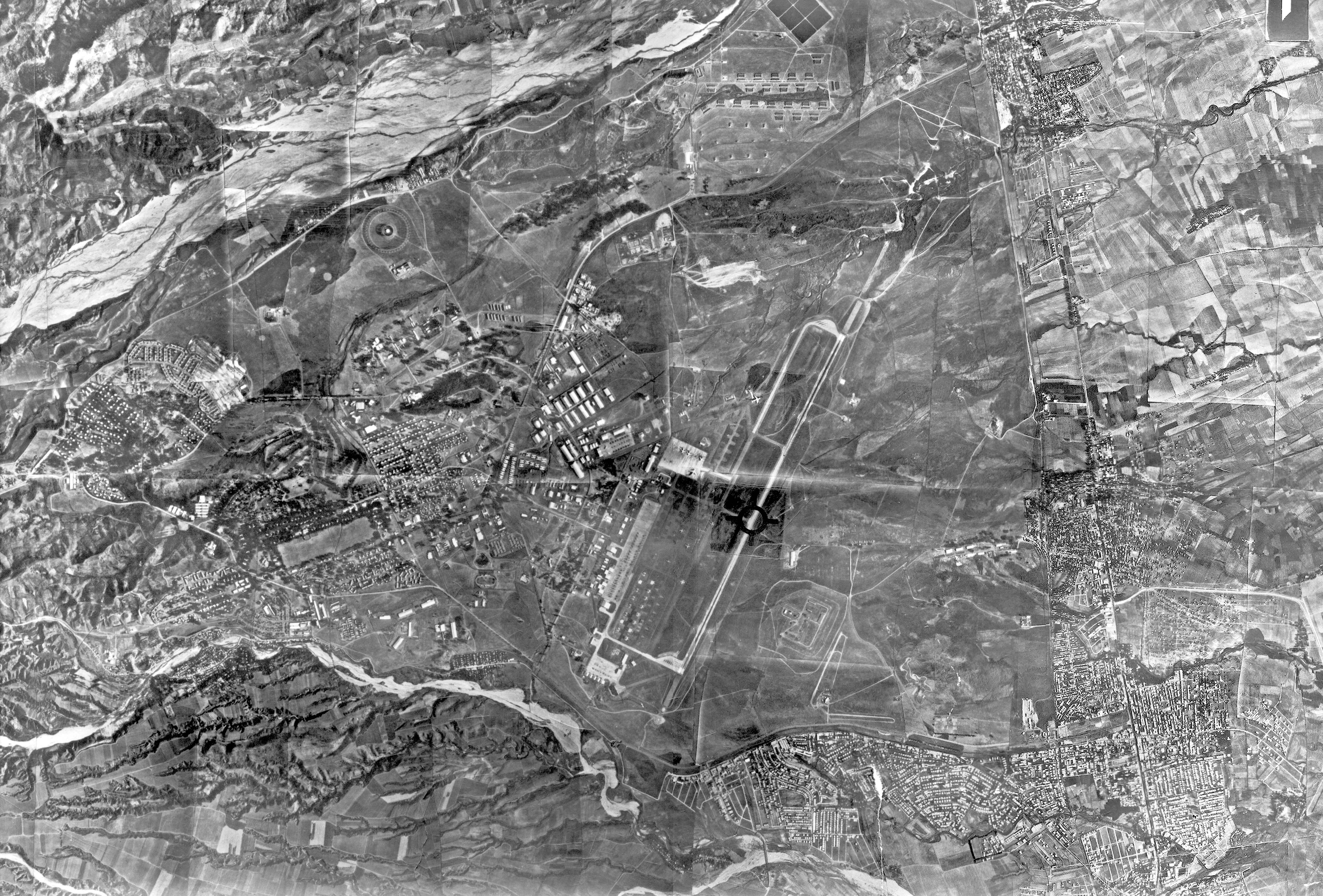
Clark Air Base aerial map - 1977. A high resolution aerial photograph showing the base and surrounding areas. Highest Resolution image (2 mb). |
 |
Clark Air Base aerial map - 1990s. A false color relief map showing Mt. Pinatubo and the after effects of the 1991 eruption. |
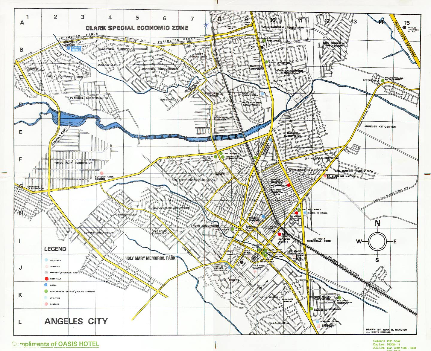 |
A current map of Angeles bordering the Clark Special Economic Zone |
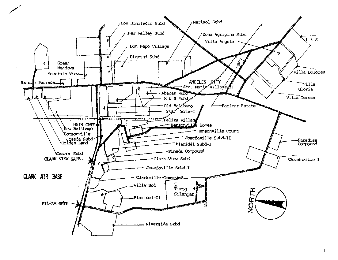 |
Off base housing map. A general street map of local off base housing areas. |
 |
Off base housing map. Another general street map of local off base housing areas. |
 |
Riverside housing map. A general street map of the Riverside housing area. |
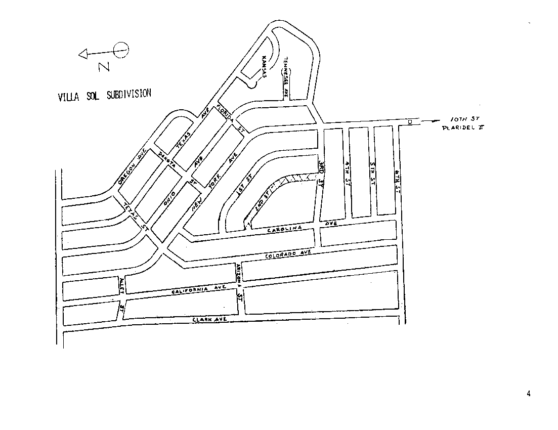 |
Villa Sol housing map. A general street map of the Villa Sol housing area. |
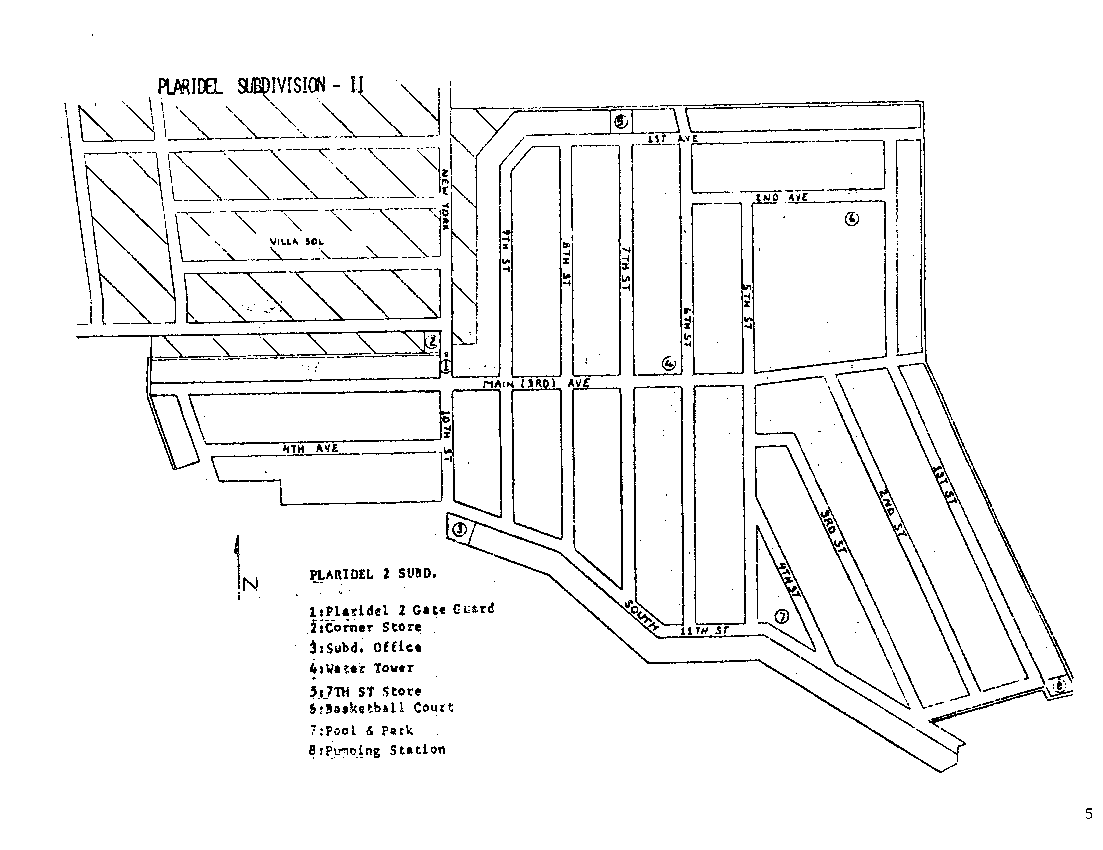 |
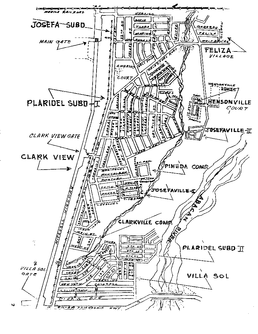
Plaridel housing map. A general street map of the Plaridel housing area. |
 |
Hensonville housing map. A general street map of the Hensonville housing area. |
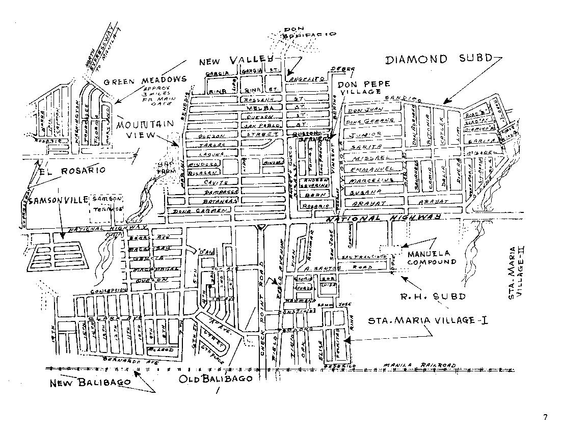 |
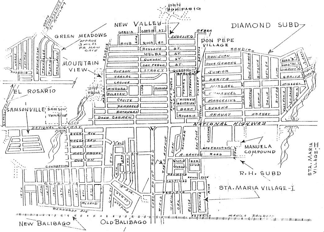
Balibago
and Mountain View map. A general street map of the Balibago and Mountain
View subdivisions. |
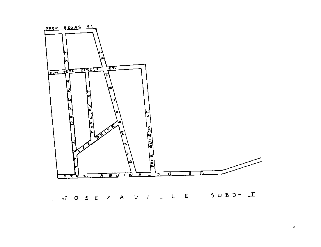 |
Josefa Subdivision map. A general street map of Josefa subdivision. |
 |
Don Bonifacio housing map. A general street map of the Don Bonifacio housing area. |
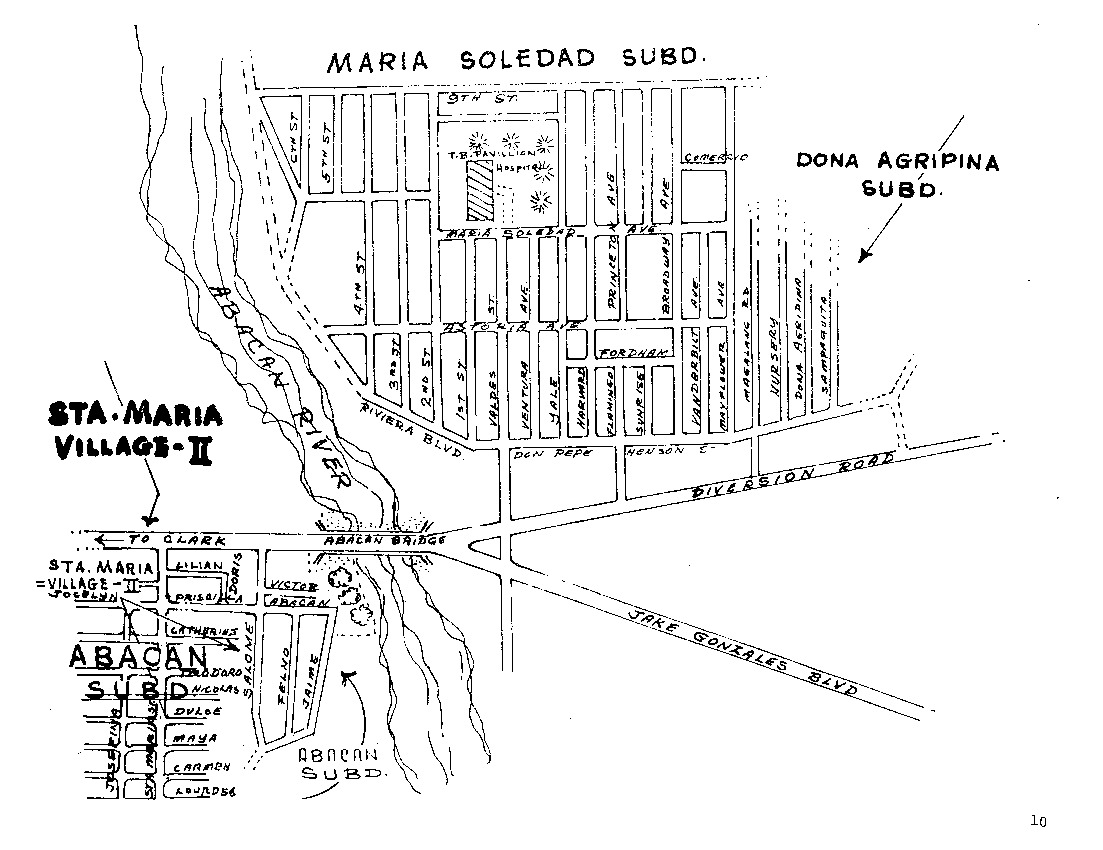 |
Marisol housing map. A general street map of the Maria Solidad housing area. |
 |
Timog Park housing map. A general street map of the Timog Park housing area. |
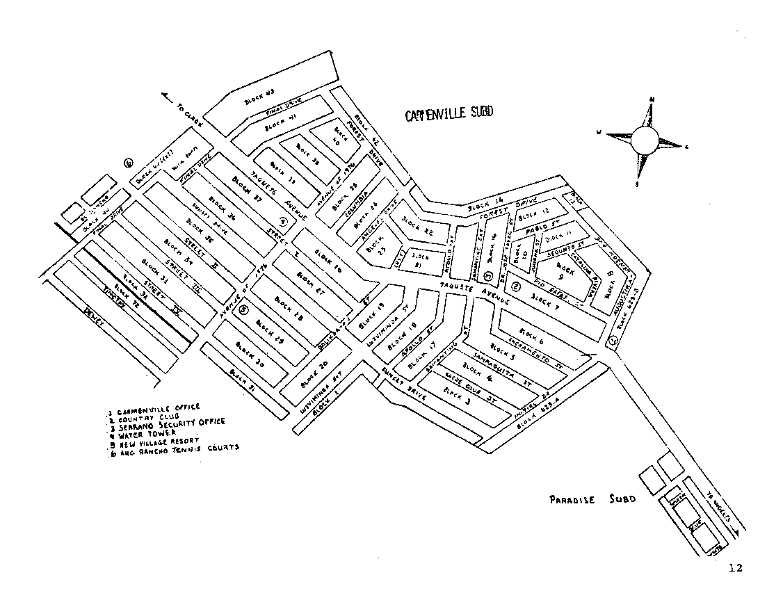 |
Carmenville housing map. A general street map of the Carmenville housing area. |
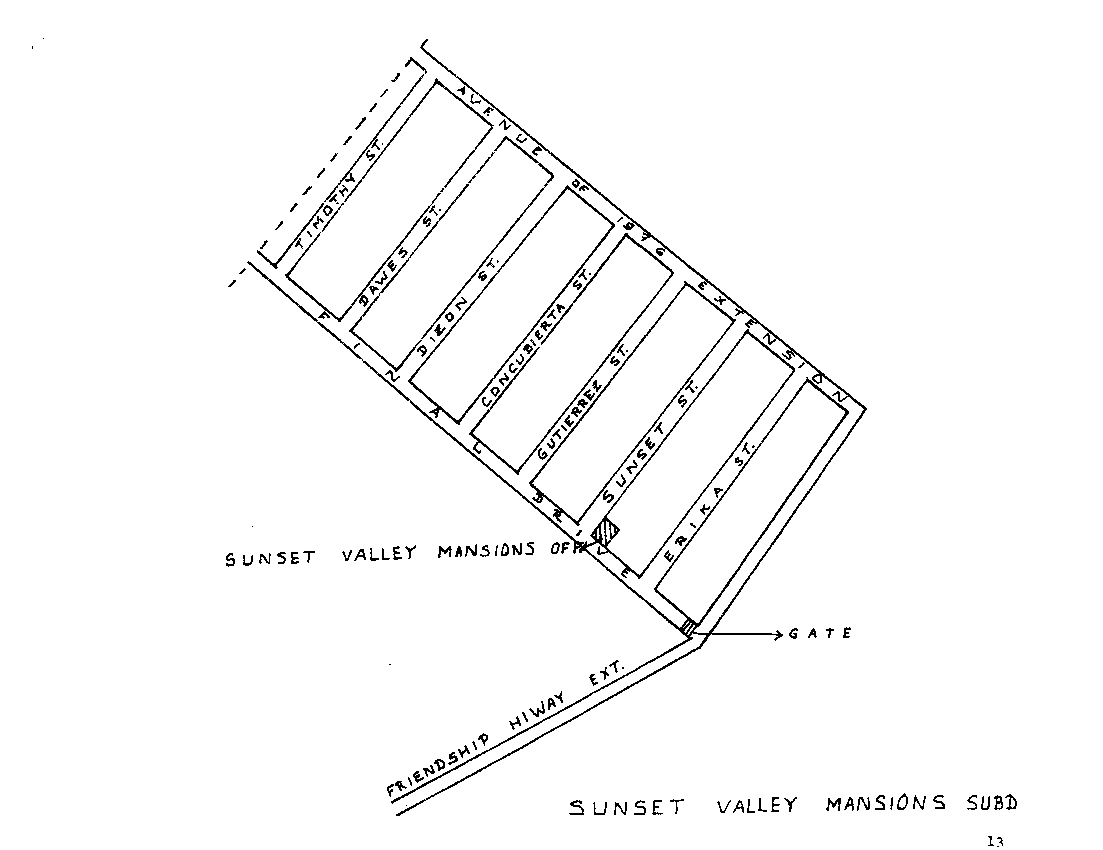 |
Sunset Valley housing map. A general street map of the Sunset Valley housing area. |
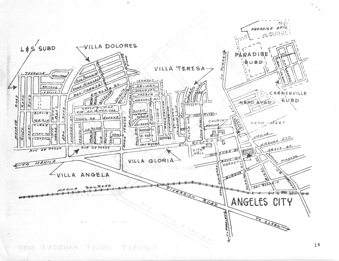 |
Angeles housing map. A general street map of the Angeles housing areas. |
 |
A current map of Angeles areas. |
 |
A current map of Balibago. |
 |
A current map of Plaridel. |
 |
A current map of Angeles housing areas. |
 |
Manila aerial map. A general air chart and relief map showing Manila, Manila Bay, Cavite, Corregidor and other visible landmarks. |
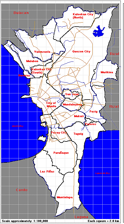 |
Manila and suburbs. An outline map of the greater Manila area. |
 |
Central Philippines. A general map of the Philippines central islands including the Visayas and Leyte. |
 |
Philippines. A general map of the Philippine Islands showing provinces and major cities. |
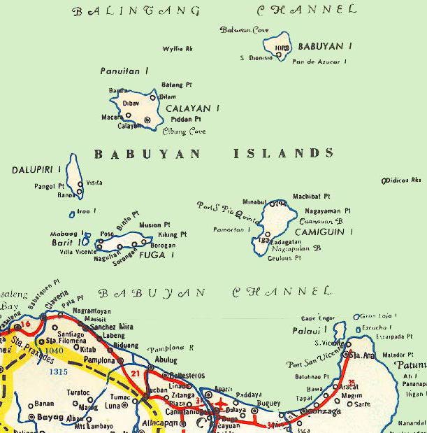 |
Northern Babuyan Islands and the Babuyan Channel. |
 |
Northern Luzon. A general road map showing cities and provinces. |
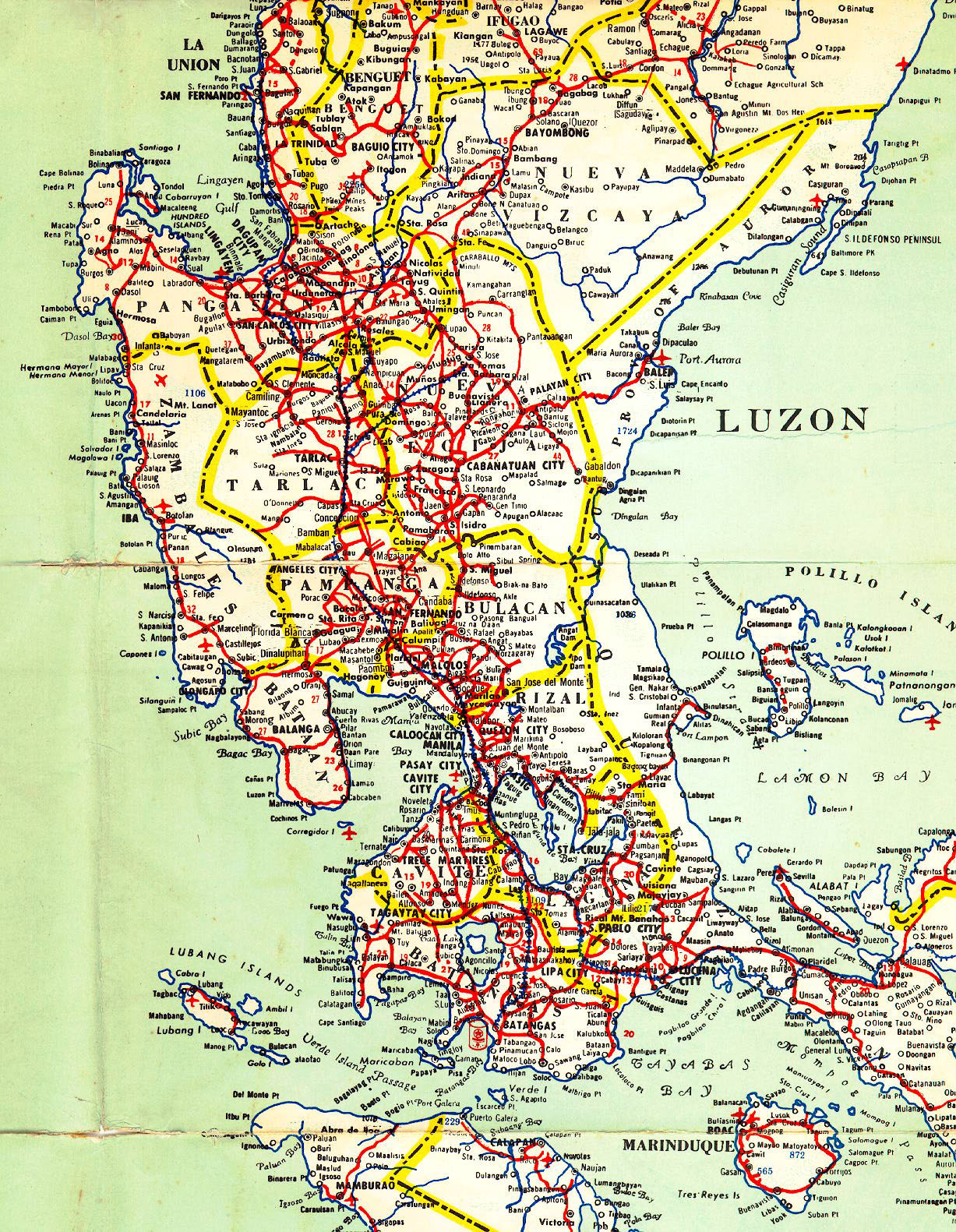 |
Central Luzon road map. |
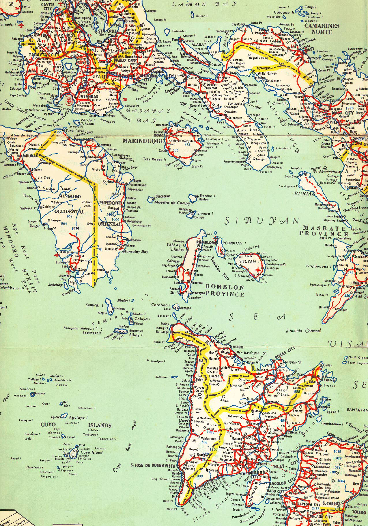 |
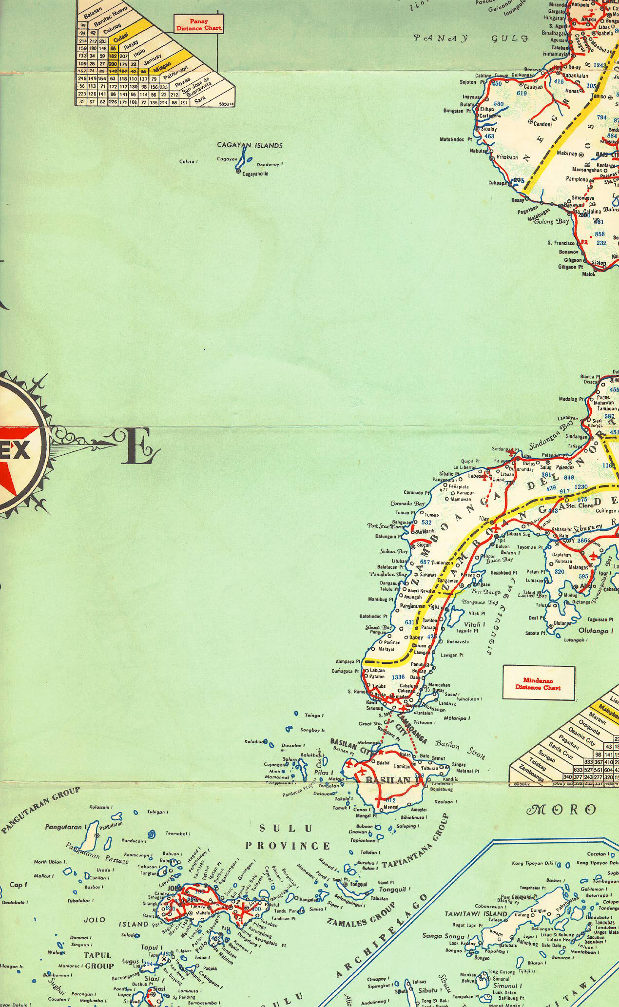
Central Philippine Islands road map. |
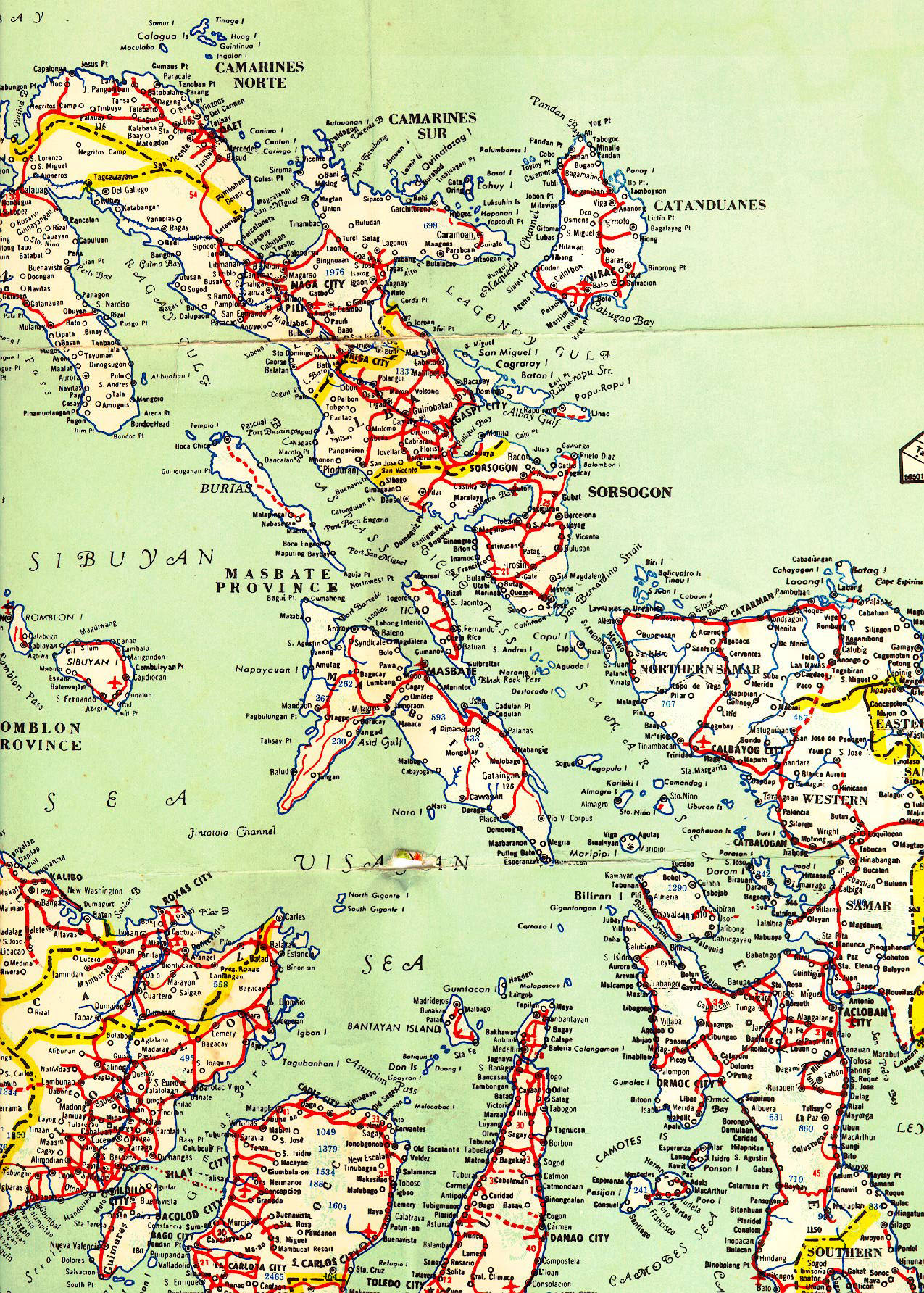 |
More of the Central Philippine Islands. |
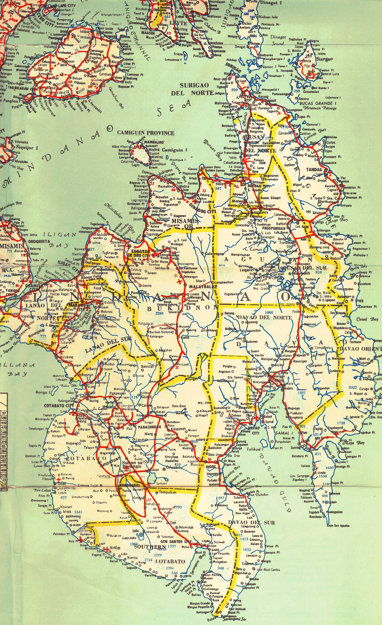 |
Mindinao road map. |
 |
More of Mindinao. |
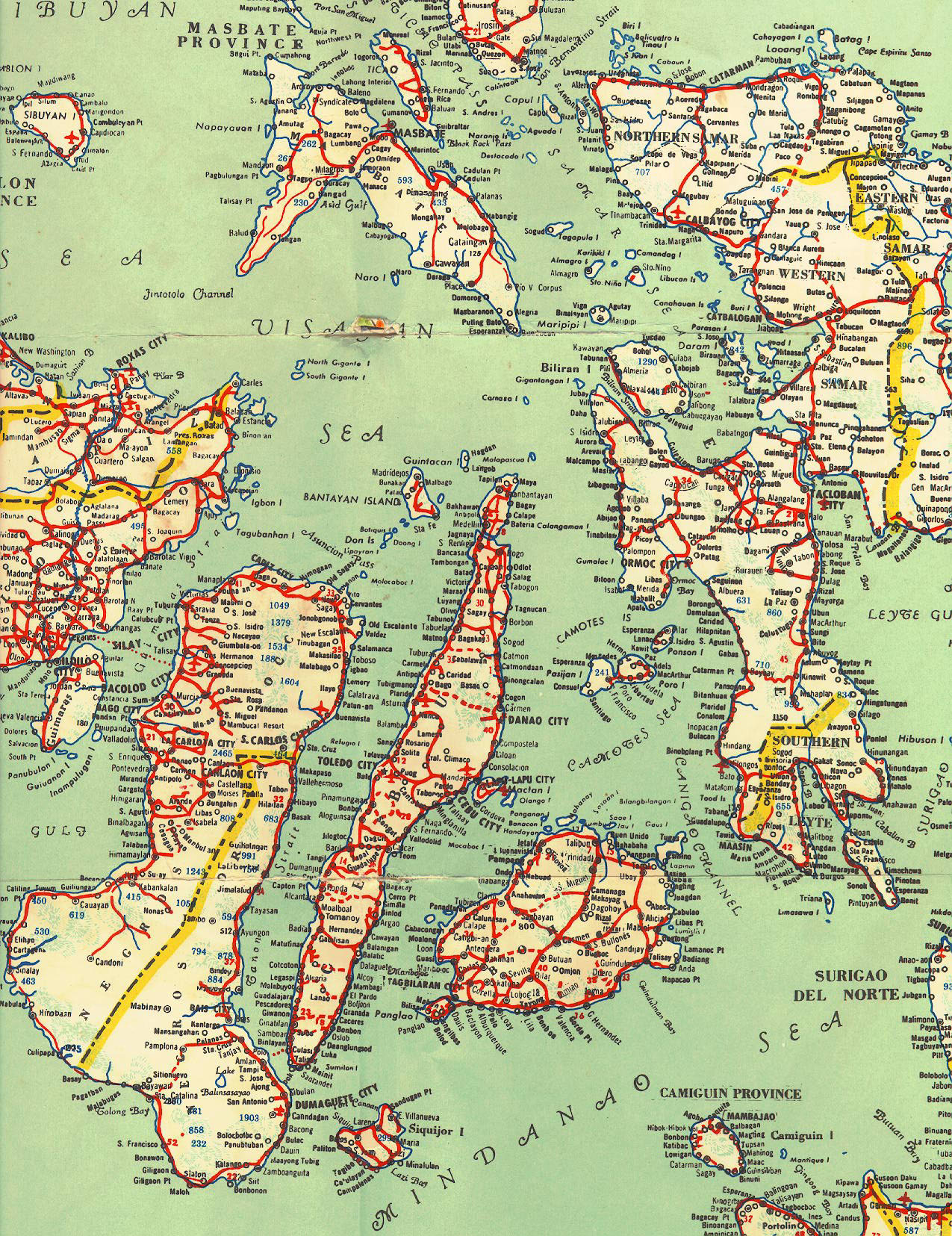 |
Leyte and vicinity road maps. |
 |
Palawan Island road map. |
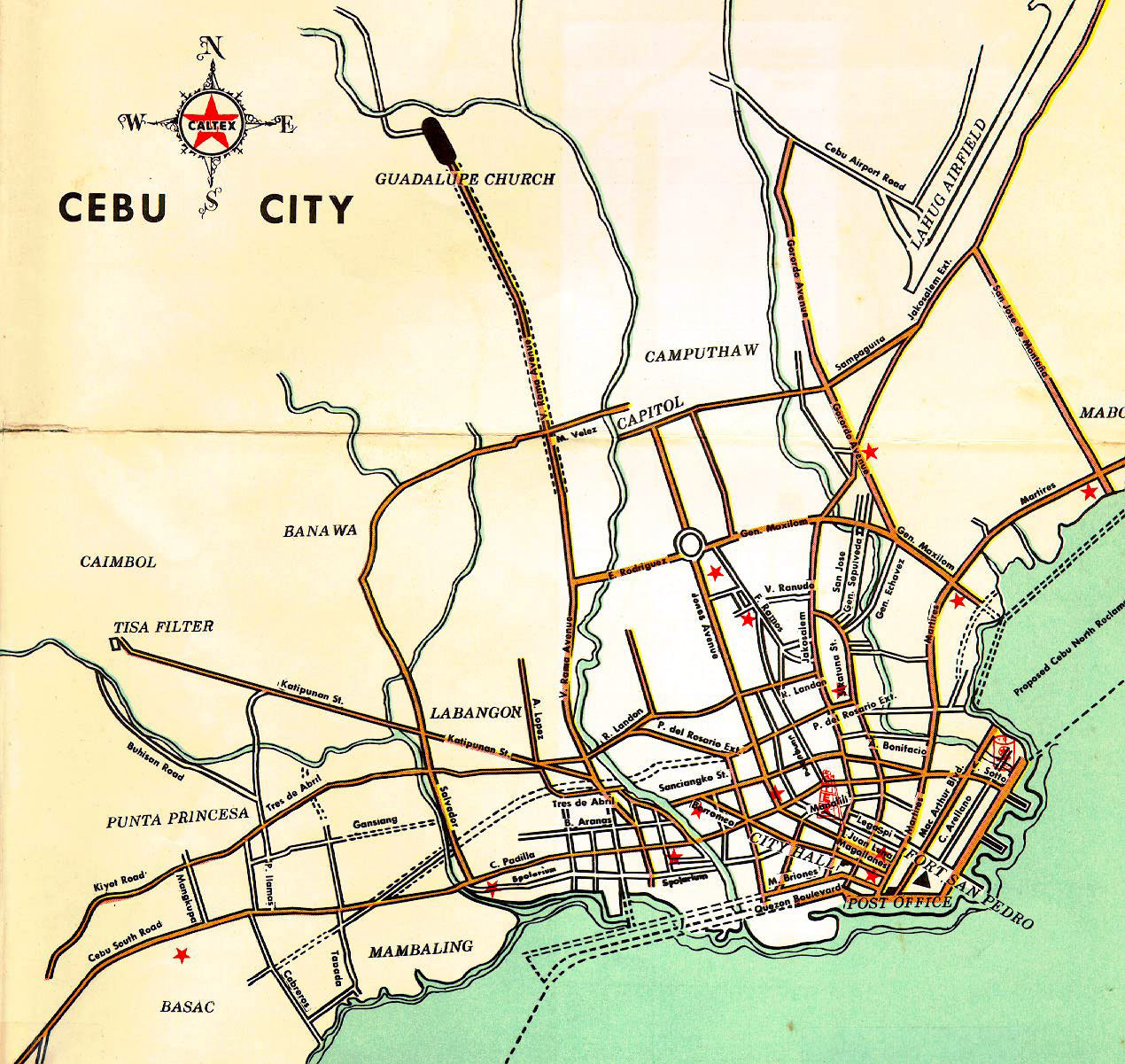 |
Cebu City road map. |
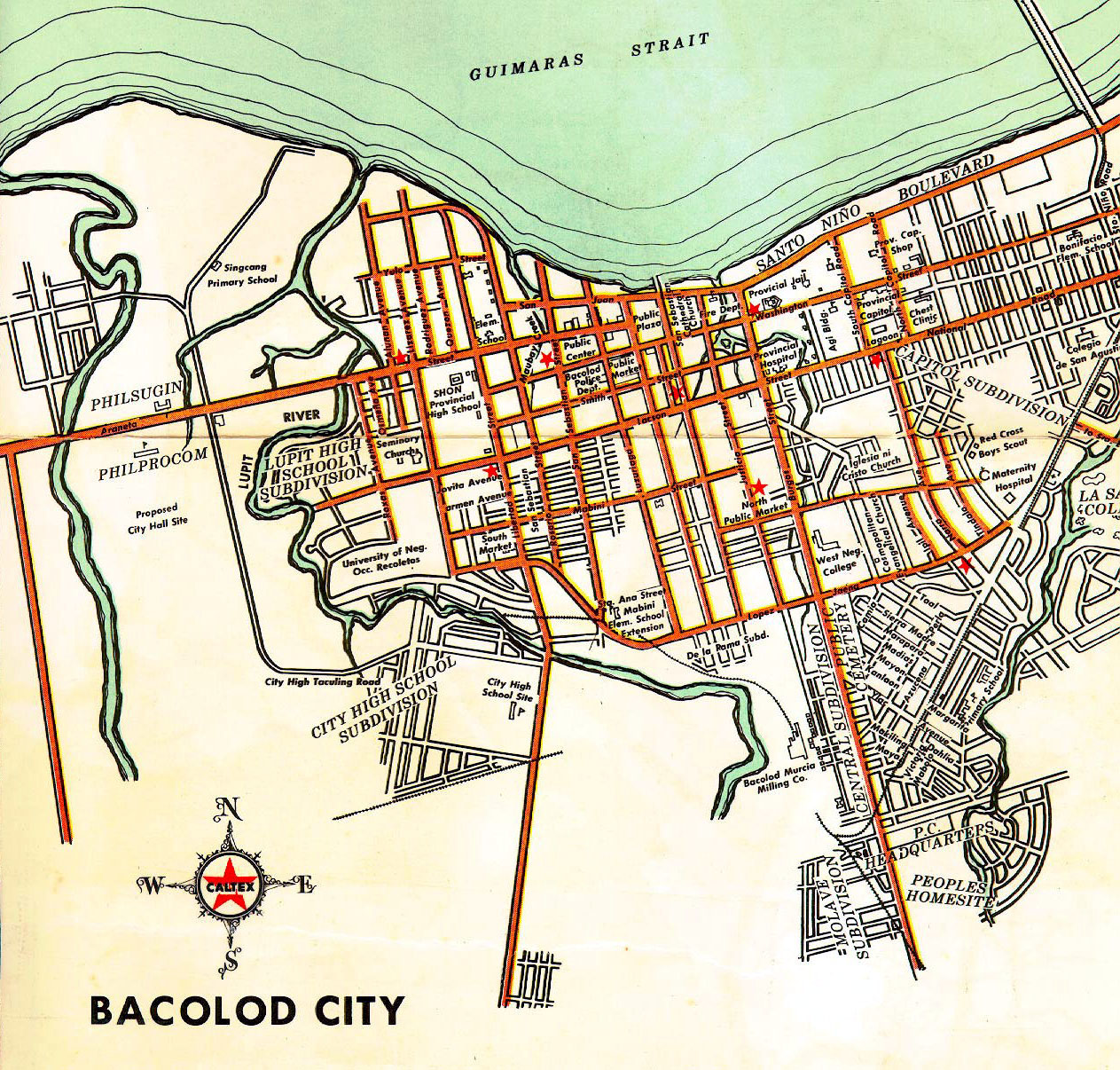 |
Bacolod City road map. |
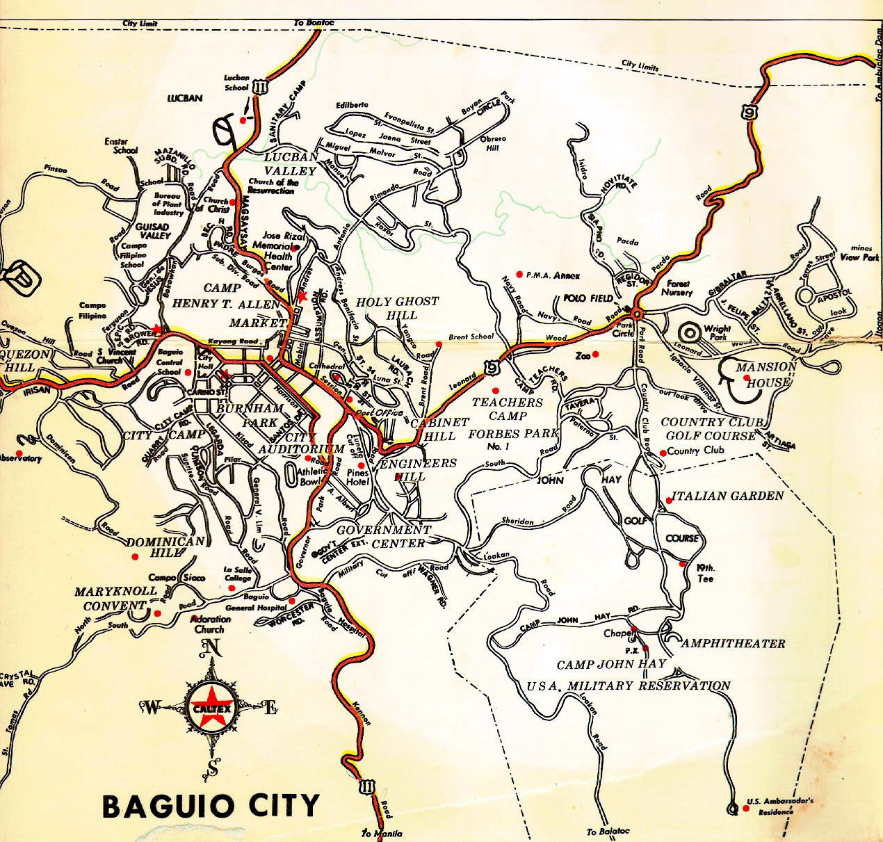 |
Baguio City road map. |
 |
Davao City road map. |
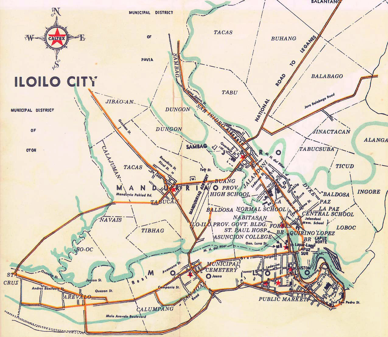 |
Iloilo City road map. |
|
|
|
|